
Trips around Georgia
Svaneti, Kazbegi, Gomismta and other places worth leaving Batumi for a few days.
checked in August 2026🏔 Where to go
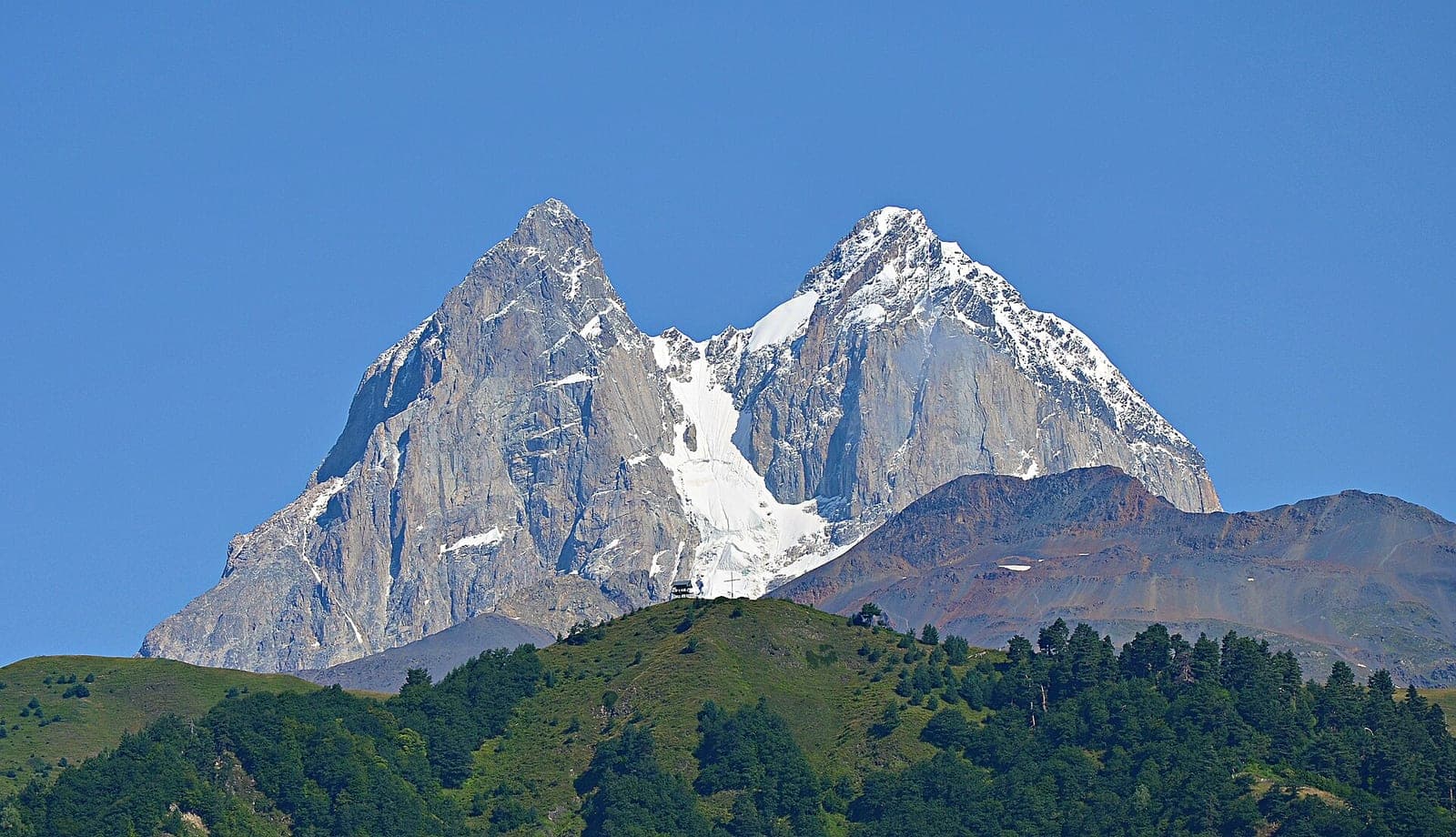
Svaneti and Mazeri
The mountain north, with 12th-century towers, glaciers and views of Ushba. Mazeri is the village at the foot, and the Shdugra waterfall trail starts there. The main town is Mestia.
- Journey:
- about 350 km, 7–8 hours
- How to get there:
- a minibus via Zugdidi, or a car
- Time to allow:
- three days minimum
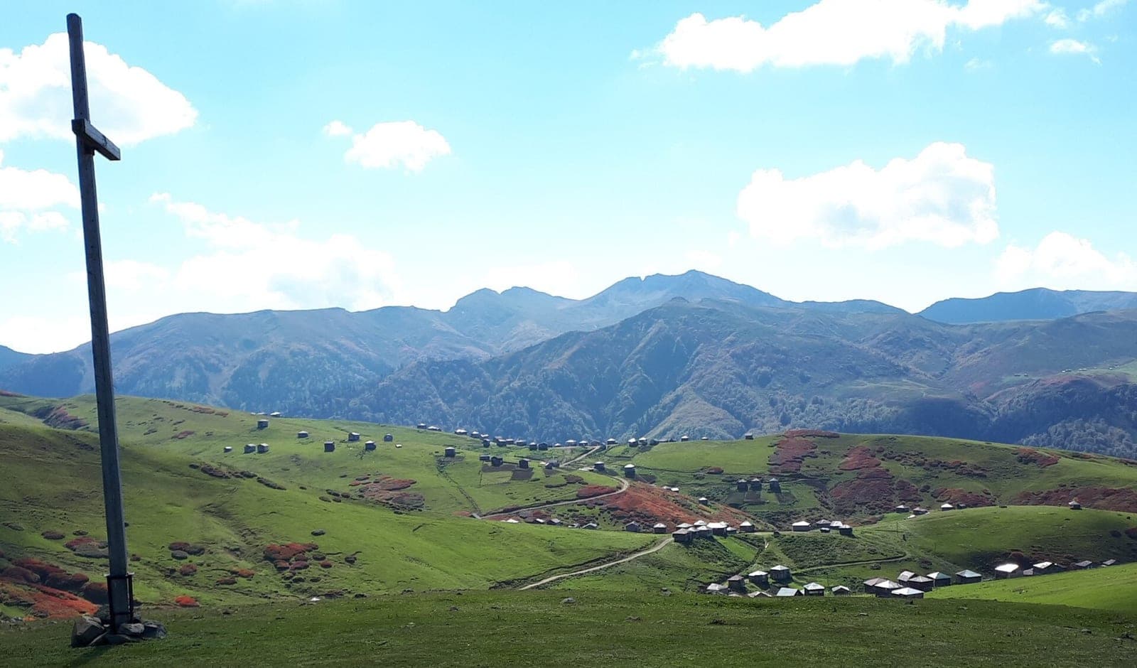
Gomismta — the village above the clouds
Summer cottages on a ridge above two thousand metres, where the clouds lie below you rather than overhead. The road is paved now, so a 4×4 is no longer essential.
- Journey:
- about 85 km, two hours of switchbacks
- How to get there:
- a minibus from the Batumi bus station, about 12 ₾, or a car
- When:
- summer: the road is closed in winter
Even in a heatwave the evenings up there are cold and windy — bring a warm jacket.
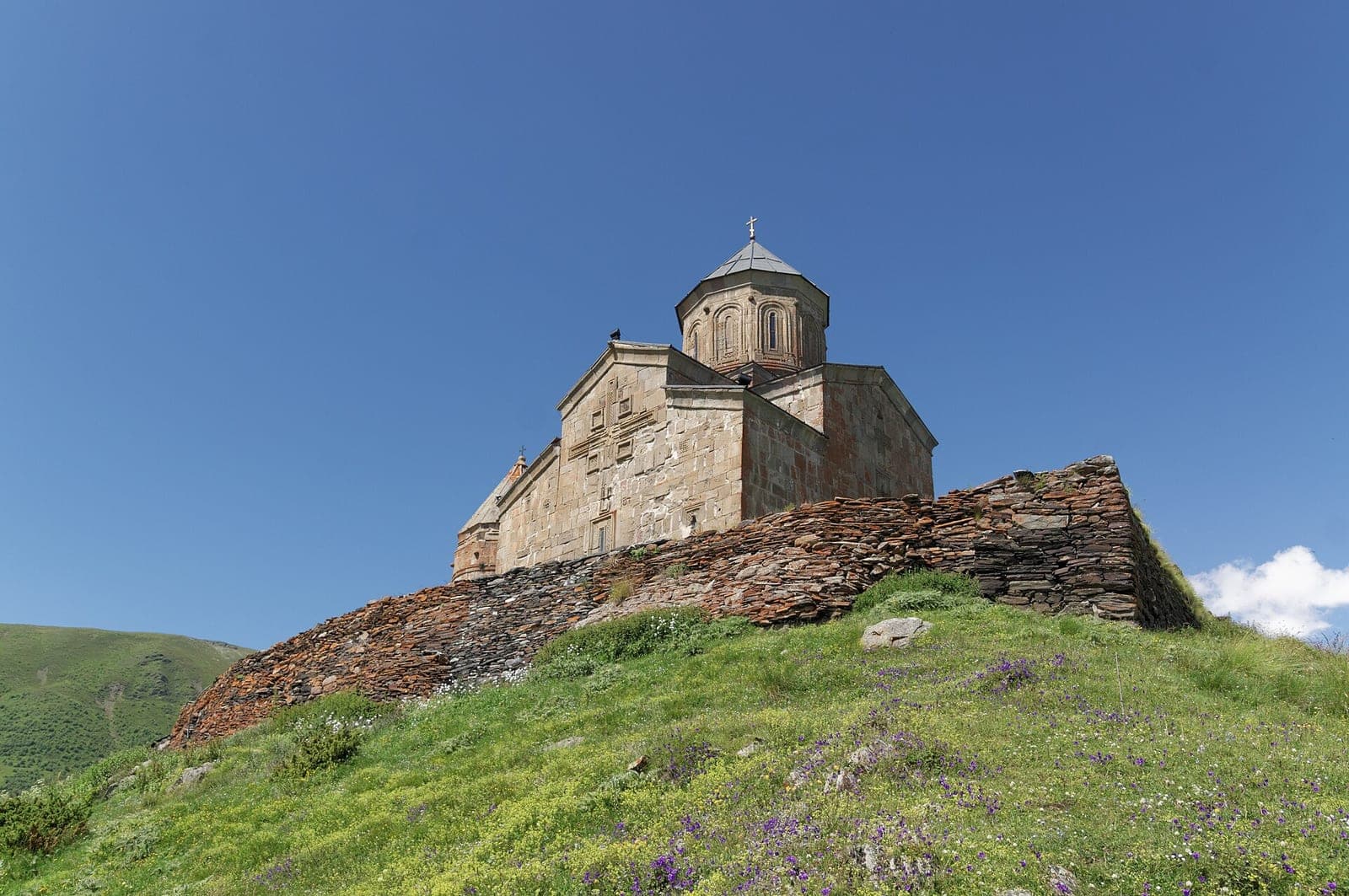
Kazbegi (Stepantsminda)
Gergeti church against the 5,000-metre Kazbek — the most recognisable picture of Georgia. You walk up in a couple of hours or drive up in a 4×4.
- Journey:
- about 550 km, a day's travel
- Easiest route:
- via Tbilisi, then by minibus
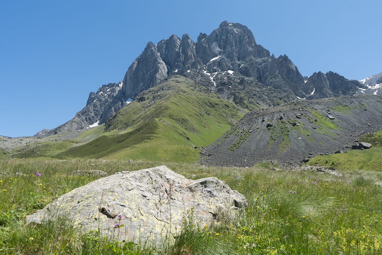
Juta
One of the highest villages in Georgia, around 2,200 metres, near Kazbegi. The Chaukhi rocks are reached from here on foot or on horseback.
- Where:
- Kazbegi district, about an hour from Stepantsminda
- Time to allow:
- a day, staying overnight in a guesthouse
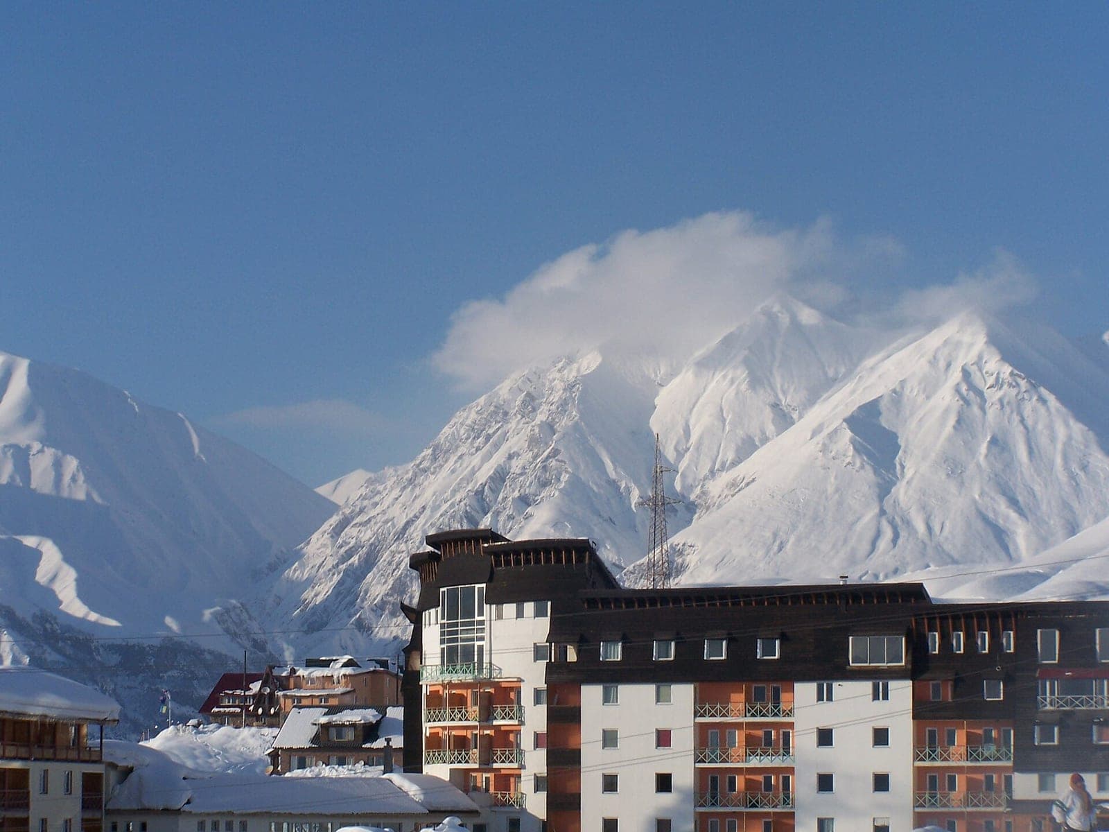
Gudauri
The country's main ski resort, on the Georgian Military Road. In summer: paragliding and the views from the Friendship Arch.
- Journey:
- about 500 km, via Tbilisi
- Season:
- skiing from December to April
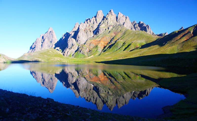
The Tobavarchkhili lakes
The “silver lake” at around 2,600 metres in mountainous Samegrelo. You get there only on a multi-day trek with real ascent, river crossings and glaciers — or by helicopter, which some people do just for the photograph.
- Altitude:
- about 2,600 m
- How people get there:
- a four- to six-day trek, or a helicopter
- Trailhead:
- Martvili or Jvari
This is not a stroll: the route is for experienced walkers and usually with a guide.
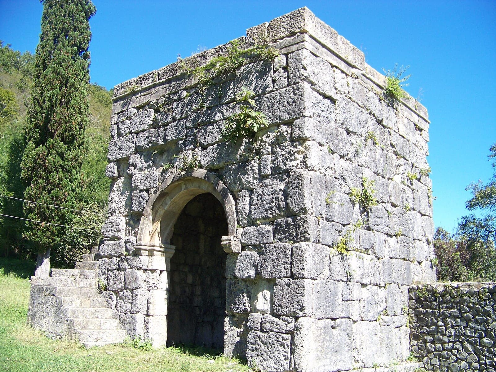
Nokalakevi and the hot springs
The archaeological site of the ancient fortress of Archaeopolis in Samegrelo, with open-air thermal springs beside it. Easy to fold into a trip north.
- Journey:
- about 150 km, 2.5 hours
- How to get there:
- by car, on the way from Batumi to Svaneti
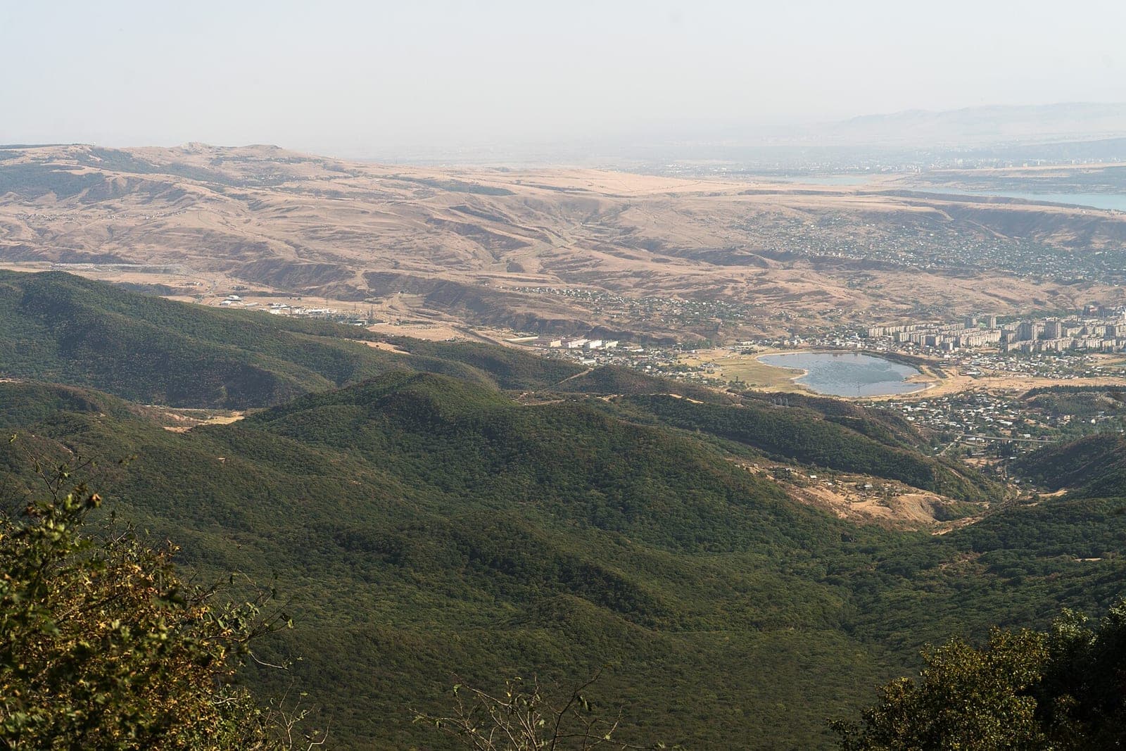
Tbilisi National Park
The wooded Saguramo hills just outside the capital: trails, viewpoints and the Zedazeni monastery nearby. A good option if you are in Tbilisi and want a day outdoors.
- Where:
- 20–30 km from Tbilisi
- Time to allow:
- half a day
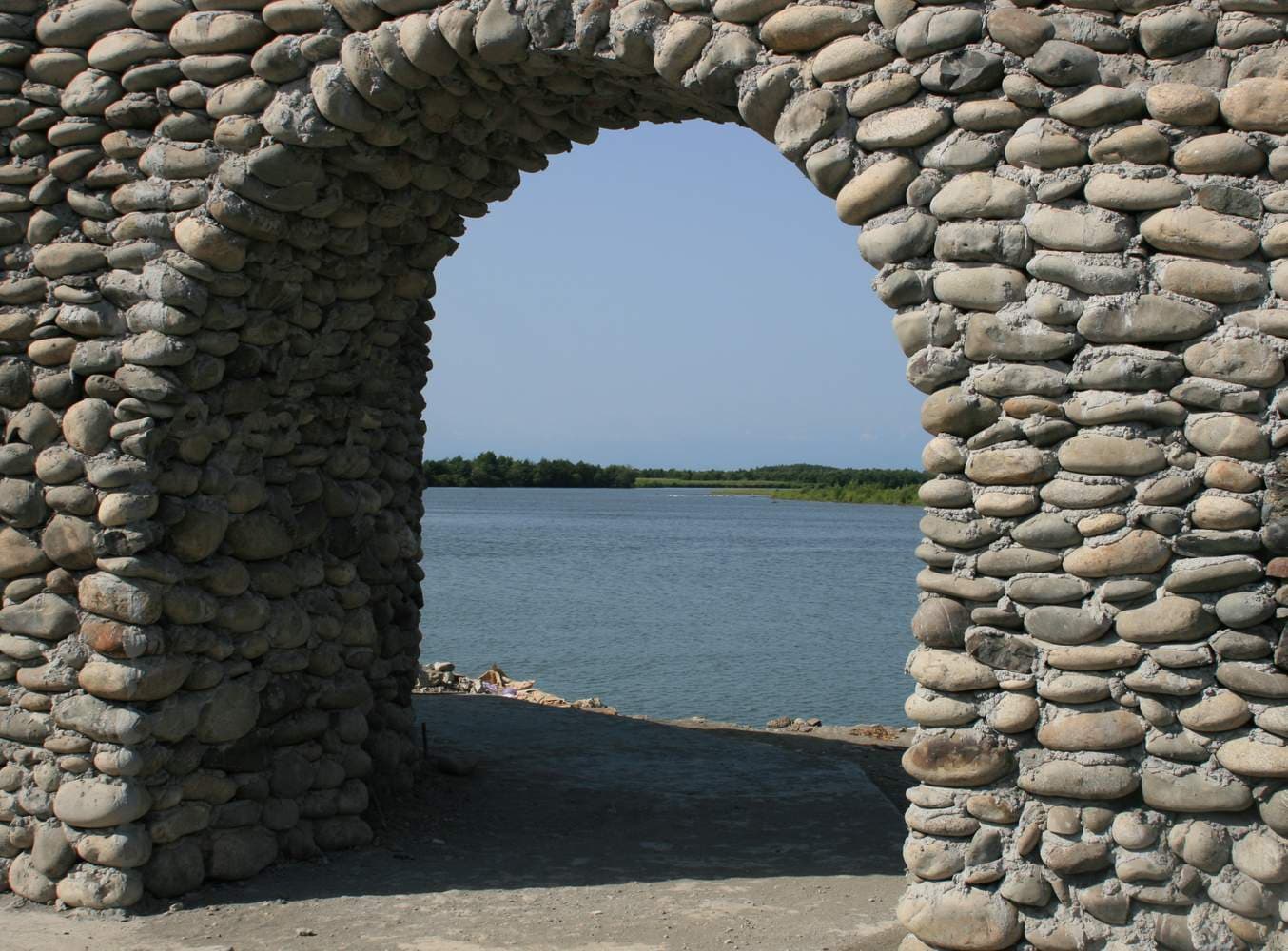
The fortress at Anaklia
The ruins of an early-18th-century fortress on the shore. It is a long drive, and people usually come for the resort itself, with the fortress as a bonus.
- Journey:
- about 2 hours
- How to get there:
- car, or a minibus via Zugdidi