
Out of town
Adjara's parks, waterfalls and fortresses within an hour's drive — where to go for the day.
checked in August 2026🌿 Nature reserves and parks
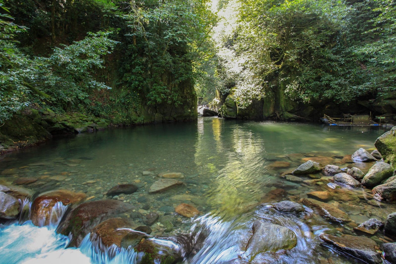
Mtirala National Park
Humid Colchic forest, a waterfall and a suspension bridge. The name means “the weeping mountain” — this is the wettest place in Georgia, so people bring a raincoat even on a clear day.
- Journey:
- 25 km, about an hour
- How to get there:
- minibus from the old bus station to Chakvistavi at 08:30, 11:30, 14:30 and 18:30; then on foot or by local transport
- Hours:
- daily 09:00–18:00
- Time to allow:
- 2–3 hours for the short trail, a full day for the long one
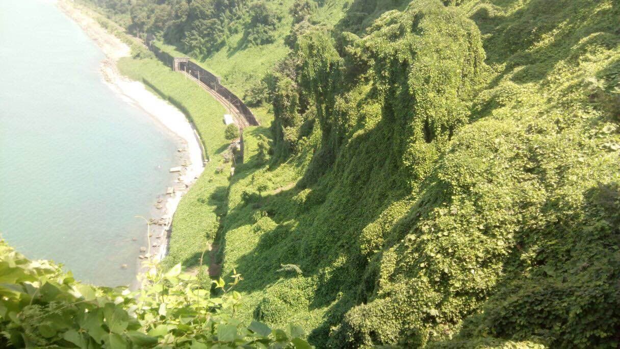
Batumi Botanical Garden
A vast park on the slope above the sea, one of the oldest in the region. You will not walk it in an hour — allow half a day.
- Journey:
- 30–40 minutes, Green Cape
- How to get there:
- bus or minibus towards Chakvi, or a taxi for 25–35 ₾
- Entry:
- 25 ₾, free for children under 7
- Hours:
- daily 09:00–19:30
- Guide:
- 100 ₾ for an hour and a half
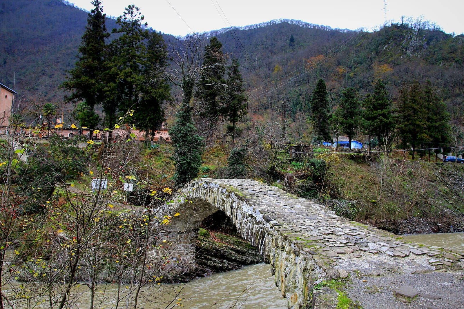
Makhuntseti waterfall and Tamara's bridge
A waterfall some 20 metres high with a 12th-century arched bridge beside it. On the way: vineyards, villages and views of mountain Adjara.
- Journey:
- about an hour, 30 km
- How to get there:
- a minibus towards Keda from the old bus station, or a car
- Entry:
- free
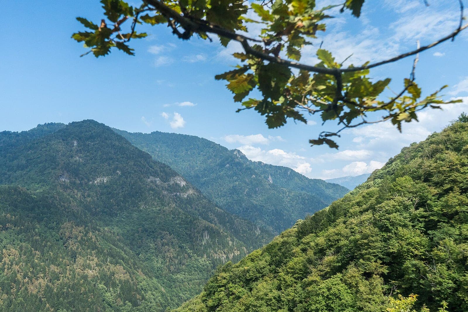
Machakhela National Park
The gorge of the Machakhlistskali river: chestnut and beech forest, waterfalls and boxwood. Along the way, ruined fortresses, old arched bridges and village wine cellars. The closest real mountain park to the city.
- Journey:
- 30 km, under an hour
- How to get there:
- car or taxi; public transport is awkward
- Trails:
- “Mtavarangelozi” and “Kokoleti”
- Time to allow:
- a full day
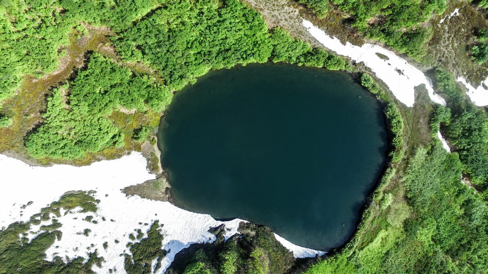
Archangel Mountain (Mtavarangelozi)
An 880-metre summit in the same Machakhela gorge, with Batumi, the Chorokhi river and the whole park in one view. The climb counts as easy: you drive part of the way, then walk through forest, streams and small waterfalls. The old Gvara fortress stands along the route.
- Altitude:
- 880 m
- Difficulty:
- easy, suitable for almost anyone
- How to get there:
- car to the end of the road, then on foot
People call it a “place of power” — it gives the best panoramic shot of Batumi from the mountain side.
Kintrishi National Park
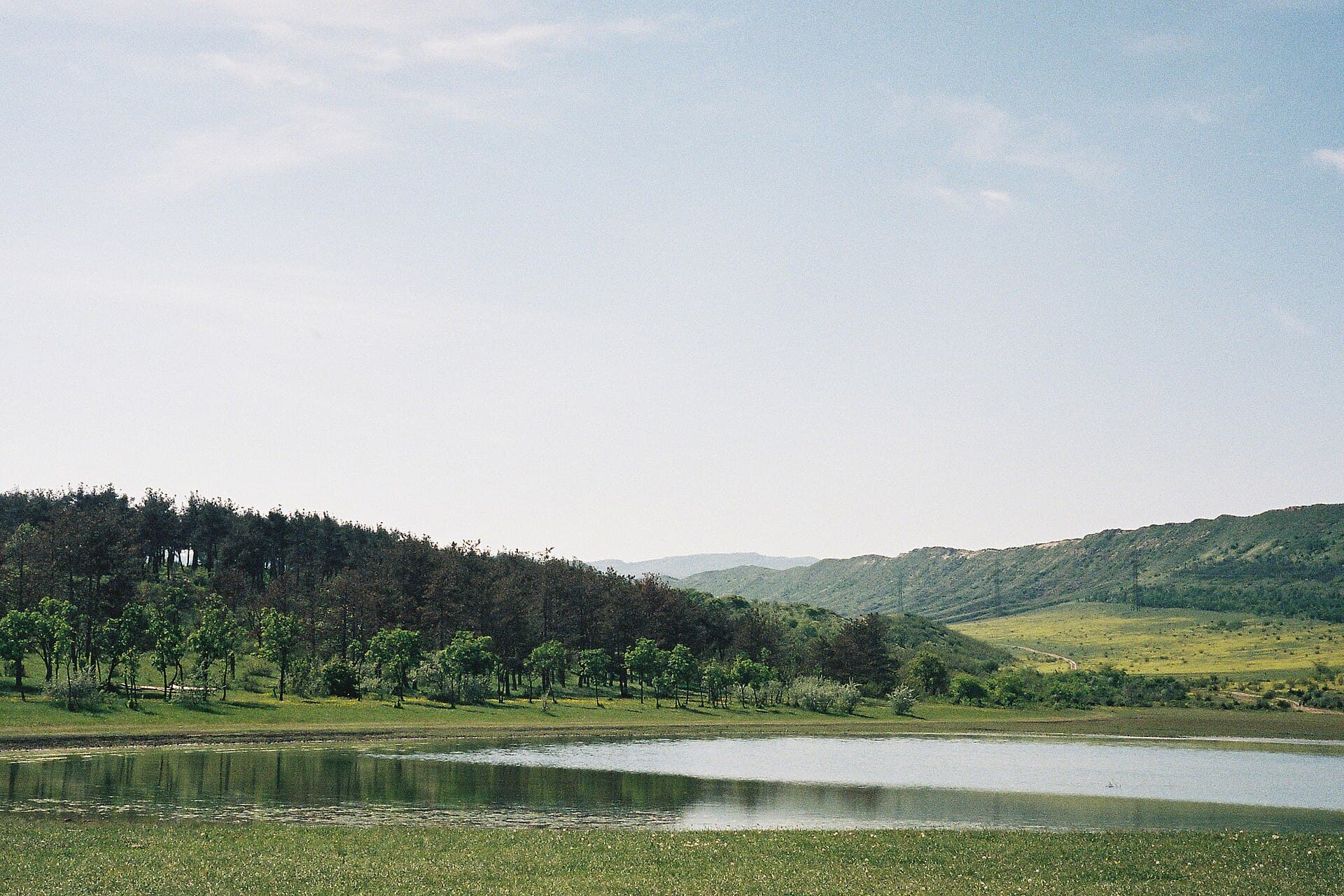
Relict yew forest and the mountain lake Tbikeli at over 2,000 metres. It became a national park in 2019. The lake is a long way in — proper trekking rather than a walk.
- Journey:
- 55 km from Batumi
- Visitor centre:
- Tskhemvani village, 24 km from Kobuleti
- How to get there:
- car; by public transport, to Kobuleti and then a taxi
- Time to allow:
- a day, or an overnight trip to reach the lake
Kobuleti Reserve — the Ispani bogs
Peat bogs of a kind almost gone from Europe: sphagnum moss growing in a dome, with wooden boardwalks laid across it. Part of the Colchic wetlands is on the UNESCO World Heritage list. It looks nothing like the rest of Adjara.
- Journey:
- about 30 km, 40 minutes
- How to get there:
- minibus or train to Kobuleti, then on foot
- Time to allow:
- a couple of hours
🏰 Fortresses nearby
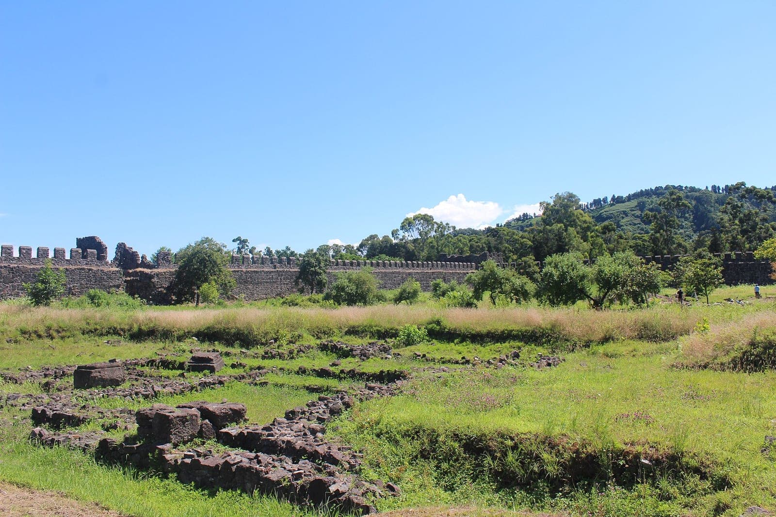
Gonio Fortress
A Roman and later Byzantine fortress: the walls survive almost intact, with a museum and excavations inside. The closest piece of history to the city.
- Journey:
- 20 minutes, 12 km
- How to get there:
- bus 16, a minibus towards Sarpi, or a taxi for 20–30 ₾
- Entry:
- 10 ₾, audio guide 15 ₾, live guide 25 ₾
- Hours:
- daily 10:00–18:00
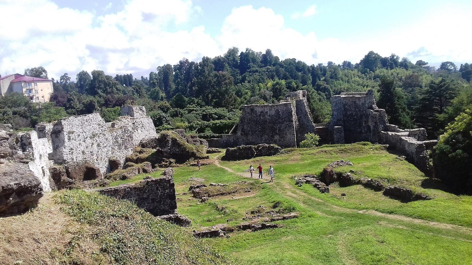
Petra Fortress at Tsikhisdziri
The ruins of a Byzantine fortress on a cliff right above the sea. The view is worth the climb; not much of the buildings survives.
- Journey:
- 45 minutes
- How to get there:
- a minibus towards Kobuleti, or a car
- Entry:
- 15 ₾